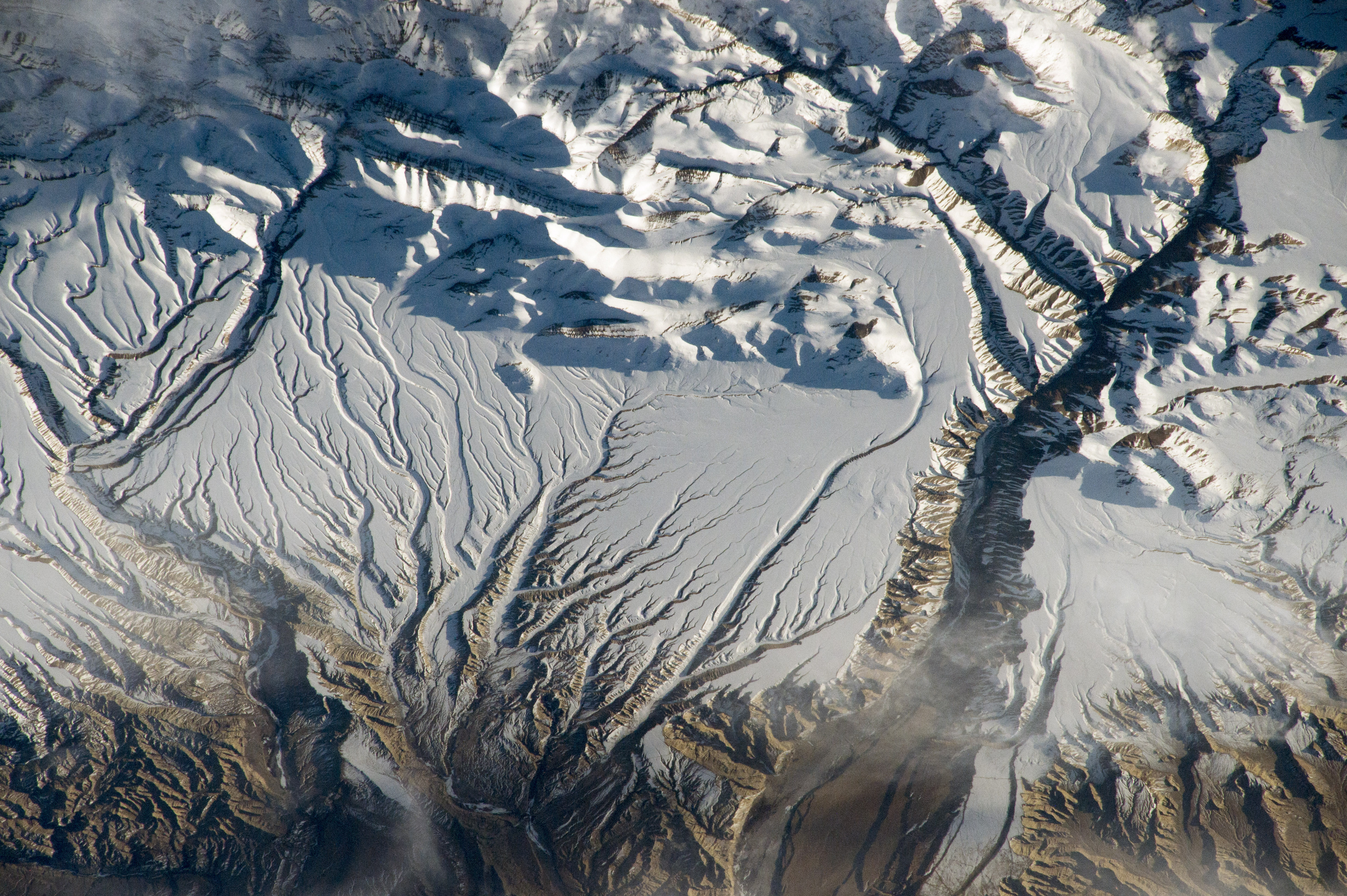
We often have stories where space technology is applied to something from Earth. In rare cases like this story, the reverse is true.
Tracking ice thickness from space is important because as climate change gets worse, more and more ice will be lost, adding to our rising ocean levels. It’s hard to take these measurements currently because the method requires combining two different data sources: LIDAR and microwaves.
Now, new research presented in the journal Frontiers in Remote Sensing proposes a way to get this done using just LIDAR, and it involves ants, indirectly.
There is existing data on how far an ant travels in its underground nest, and researchers at NASA Langley modified that data to estimate how long photons travel in snowbanks before returning to a detector. This distance is twice the snowbank’s actual depth. This data is used for climate change and also water resource management. Basically, they can predict how much water a community can expect to get from a snowbank later. This data will also be used to predict snowfall decline as this is harder than predicting changes in rainfall.
According to one of the team members, Yongxiang Hu: I studied [the] properties of clouds and learned light bounces among cloud particles randomly, similar to the ants’ movement inside its colony. So, I thought that the ants theory might apply to snow too since snow comes from clouds.
This technique has so far only been used on the ICESat-2 satellite, launched in 2018 on the last Delta 2 rocket. Researchers hope to use this technique in new satellites developed for the purpose, which are being designed right now.
More Information
Frontiers press release
“Deriving Snow Depth From ICESat-2 Lidar Multiple Scattering Measurements,” Yongxiang Hu et al., 2022 April 8, Frontiers in Remote Sensing


 Join the Crew!
 Escape Velocity Space News
0 Comments