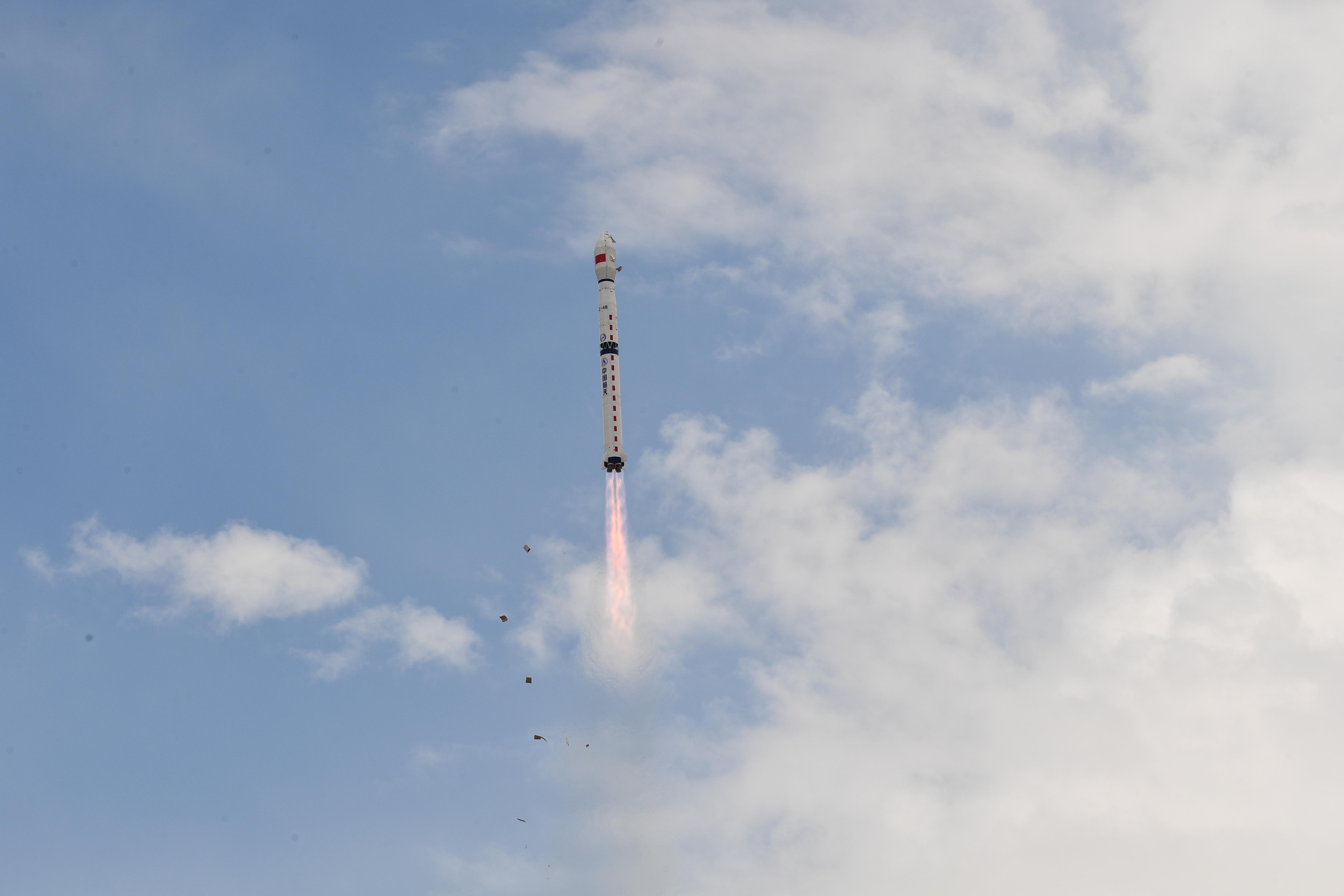
On May 19 at 04:10 UTC, a Long March 4B launched the Haiyang 2D satellite into orbit from the Jiuquan Satellite Launch Center in northern China.
The purpose of the satellite is to monitor the dynamic ocean environment with microwave sensors to detect sea surface wind, height and temperature. It does this with an altimeter (which measures altitude), and a scatterometer — a specialized type of active radar optimised to determine the direction of wind over large bodies of water. Both instruments work by sending out radar pulses to the ocean and recording the reflections. The altitude, wind speed and direction are a function of the returned energy. A rough ocean surface returns a stronger signal because the waves reflect more of the radar energy back toward the scatterometer antenna. A smooth ocean surface returns a weaker signal because less of the energy is reflected.
More Information
CASC press release
Haiyang 2 info page (Gunter’s Space Page)
What is Scatterometry? (The Florida State University)
Scatterometry (NASA JPL)
Launch video


